Social Science - Geography - Unit 7 - Nilavaraipada Thirangal 02
Presentations | Tamil
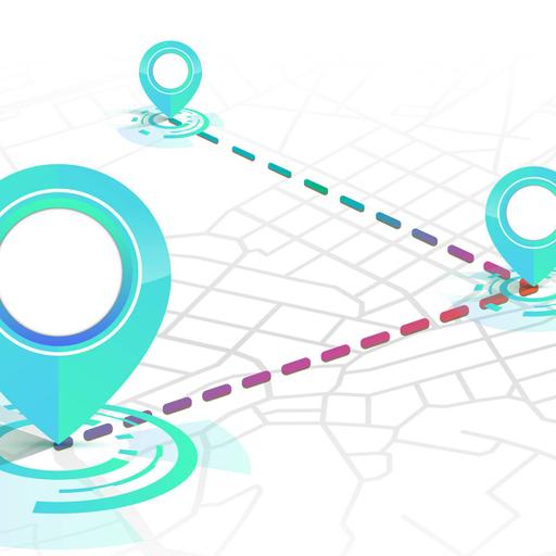
"This presentation gives you a clear explanation about mapping skills. In Part 2 of this presentation, students can acquire knowledge about to learn the methods of surveying and other techniques of acquiring map data like an aerial photography and satellite remote sensing, gain knowledge of the latest techniques of mapping, namely GIS and GNSS. Download the presentation and start learning!"
"இந்த விளக்கக்காட்சி நிலவரைபடத் திறன்கள் பற்றி தெளிவாக விளக்குகிறது. இந்த விளக்கக்காட்சியின் பகுதி இரண்டில் வான்வெளி புகைப்படம், செயற்கைக்கோள் தொலை நுண்ணுணர்வு, நில அளவியல் முறைகள் மற்றும் பிற தொழில்நுட்பங்களின் மூலம் நிலவரைபடத் தகவல்களை பெறப்படுவதைப் பற்றி மாணவர்கள் அறிந்து கொள்வர். நிலவரைபடத்தில் நிகழ்கால தொழில்நுட்பங்களான புவிதகவல் அமைப்பு (GIS), உலகளாவிய பயணச் செயற்கைக்கோள் ஒழுங்குமுறை (GNSS) மற்றும் உலக அமைவிடத்தைக் கண்டறியும் தொகுதி (GPS) மற்றும் வலை நிலவரைபடங்கள் (Web Mapping) போன்றவைகளைப் பற்றி தெரிந்து கொள்வர். இந்த விளக்கக்காட்சியை பதிவிறக்கி கற்றுக்கொள்ளத் தொடங்குங்கள்!"

205.00
Lumens
PPTX (41 Pages)
Social Science - Geography - Unit 7 - Nilavaraipada Thirangal 02
Presentations | Tamil